How to Read an Elevation Survey Before You Buy or Build
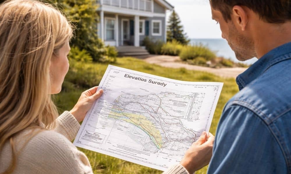
Buying or building near the coast in York, Maine feels exciting. However, one document often causes confusion right away—the elevation survey. You might receive it during closing. Or you might need it before you start building. Either way, it can look like a page full of numbers and labels that don’t make much sense at […]
Topographic Survey: 7 Reasons It’s Essential for Permits and Site Planning

Maine’s landscape is one of striking variety—from coastal bluffs and wooded hillsides to rural farmland and rocky inland regions. But this natural beauty also comes with challenges for builders and developers. Before you can break ground, you need accurate land data that reflects elevation changes, drainage patterns, and natural features. That’s where a topographic survey […]