Top Benefits of Using Drone Surveying
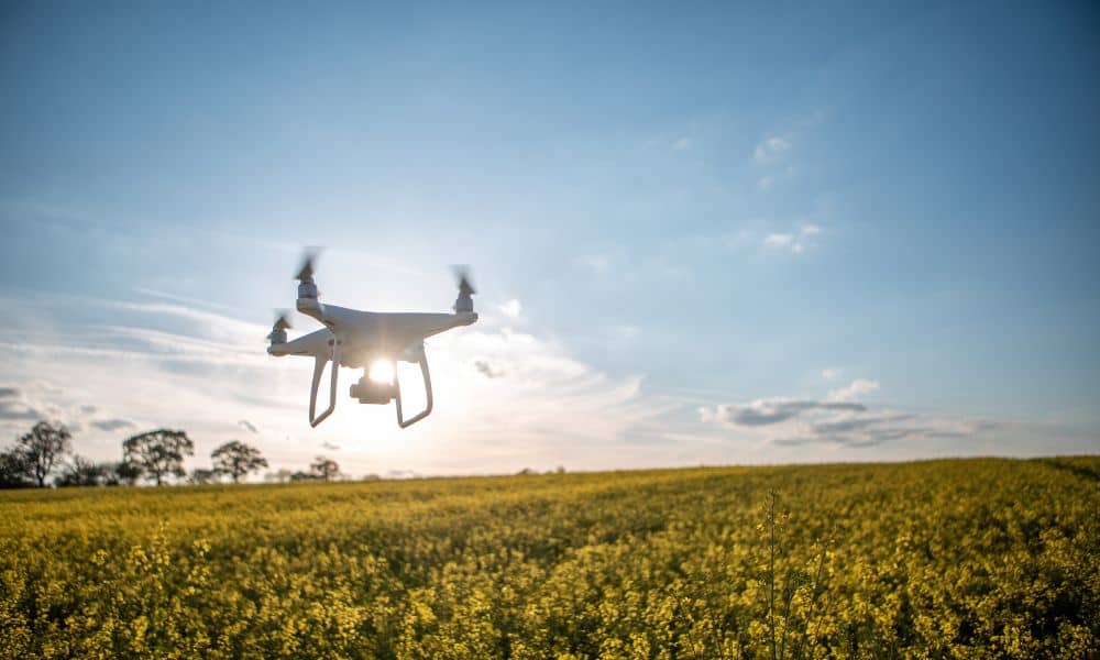
Drone surveying is quickly becoming one of the most useful tools in York. If you’ve seen small drones flying overhead, you might have wondered what they’re up to. Well, they’re not just taking pretty photos they’re helping surveyors, builders, farmers, and even town planners map land faster and more accurately than ever before. In a […]
A Short History on Land Surveying
Land surveying is one of the the oldest professions anywhere. When a parcel line separates two owners – land surveying is needed.
What You Need to Know About Land Surveying
What is Land Surveying? Land surveying is the art and science of accurately measuring parcels of land. Measurements such as dimensions, lengths, boundary lines, including structures within the area are all precisely determined through a land survey. These measurements are used to establish land alps, boundaries for ownership or for governmental purposes. It is a […]