Drone Swarms Are Redefining the ALTA Survey Process
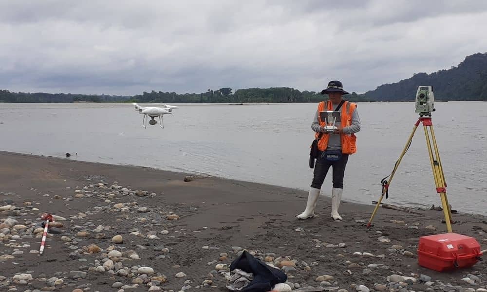
In York, Maine, storms can change the coastline overnight. Sand shifts, seawalls break, and property lines suddenly seem uncertain. For landowners and developers, that means one thing—getting an updated ALTA survey fast. Traditionally, these surveys take days of fieldwork, mapping, and verification. But new drone technology could make them happen in just a few hours. […]