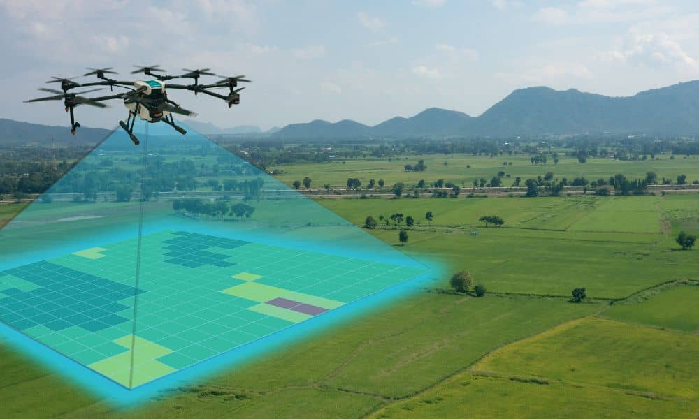
How a Global Mapping Push Made the Drone Survey Essential

If you follow global news, you may have seen a surprising story this week. In Telangana, India, the government launched a massive land-mapping project that sent more than 3,500 surveyors across the entire state. They are using GPS tools, digital systems, and updated land records to fix old boundaries and settle disputes. It is one […]