Why Drone Land Surveying Is Changing
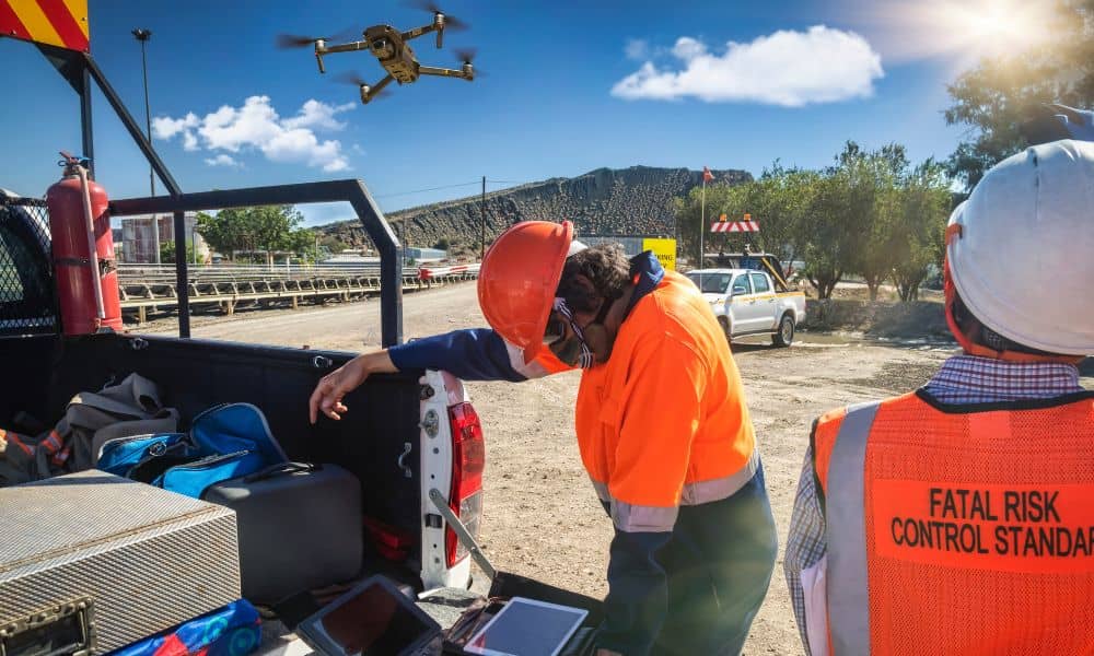
Drone land surveying has changed how surveyors collect land data. In recent years, drones helped teams work faster and safer. They also helped gather better details. However, new rules, supply problems, and stricter standards now force survey firms to change how they plan, fly, process, and share survey data. Because of these changes, workflows that […]
Top Benefits of Using Drone Surveying
Drone surveying is quickly becoming one of the most useful tools in York. If you’ve seen small drones flying overhead, you might have wondered what they’re up to. Well, they’re not just taking pretty photos they’re helping surveyors, builders, farmers, and even town planners map land faster and more accurately than ever before. In a […]