How GPS-Free UAV Survey Tech Transforms Forest Mapping
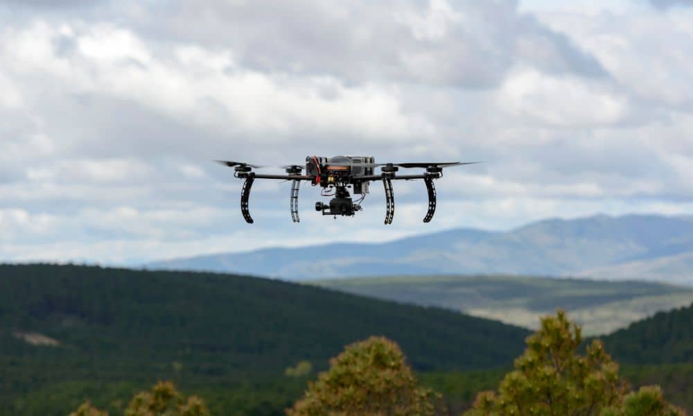
Most people think drones can map any piece of land if the pilot knows what they’re doing. But that isn’t true in many wooded or remote places. Thick trees, steep slopes, and narrow valleys often block satellite signals, which makes GPS weak or unreliable. When GPS fails, drone mapping falls apart fast. This is why […]