When a video of a house collapsing into the Atlantic Ocean in North Carolina went viral in late September, it made homeowners everywhere stop and think. The footage from Buxton on the Outer Banks showed a beachfront home crumbling into the surf during a coastal storm. It was dramatic, shocking, and a reminder of how powerful the ocean can be. For people living along the coast, especially in York, it raised a big question: could this happen here? The answer ties directly to something many people don’t pay attention to until it’s too late—a flood elevation certificate and the flood elevation survey that supports it.
A Viral Wake-Up Call for Coastal Homeowners
The OBX collapse wasn’t the first. It was the 12th home in the area to fall into the ocean in recent years. Each time it happens, the story spreads quickly online. People share it because the sight of a house breaking apart into the waves feels unreal, almost like a movie scene. But for residents with property near Long Sands, Short Sands, or Cape Neddick, the risk is very real.
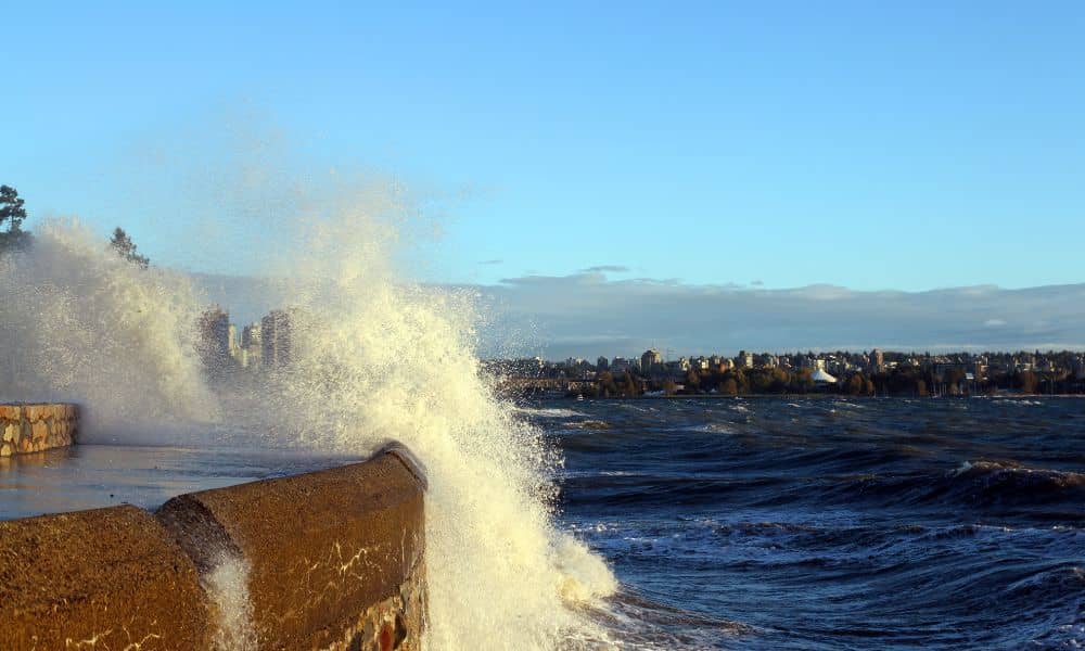
Our coastline may look different from North Carolina’s barrier islands, but the same forces are at play. Storm surge, erosion, and rising seas don’t care about zip codes. They slowly eat away at dunes and shorefront foundations. If the land under your home shifts even a few inches, your paperwork—and your safety—can become outdated overnight.
Flood Elevation Survey vs. Certificate: What’s the Difference?

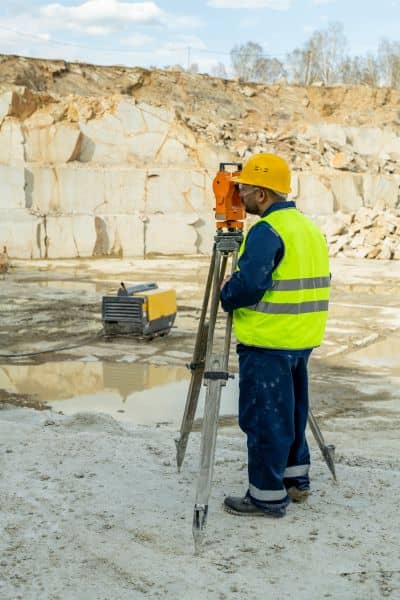
Here’s where many homeowners get confused. A flood elevation survey is the actual fieldwork that a licensed land surveyor performs on your property. We measure the grade around your foundation, the height of your lowest floor, and the location of key features like vents, stairs, and mechanical systems. Those numbers are precise, tied to official datums like NAVD88.
The flood elevation certificate, on the other hand, is the document created from that survey data. It’s the form FEMA and your insurance company use to judge your flood risk. In other words, the certificate is only as accurate as the survey behind it. If your property hasn’t been surveyed in years, or if a storm has reshaped the ground, relying on an old certificate could put you in trouble.
What the OBX Collapse Teaches York
Looking at the footage from Buxton, the biggest failure wasn’t just the house itself—it was the assumption that the land would hold forever. Storm surge pulled sand out from under the foundation until it had nothing left to stand on.
York has its own flood zones: VE and AE areas along the beaches. Homes here face the same pressure from nor’easters, king tides, and shifting dunes. That’s why a current flood elevation survey matters. It gives you, the town, and your insurer a snapshot of your home’s true risk right now. Without it, you’re left guessing.
The Rebuild Question Few Ask
Let’s imagine the worst-case scenario. Say a nor’easter damages your home badly. Under FEMA’s 50% rule, if the cost to repair is more than half the home’s market value, you’ll need to rebuild in full compliance with today’s floodplain regulations. That means raising the structure, meeting setback rules, and, yes, ordering a new flood elevation survey.
No survey, no permit. No permit, no rebuild.
It’s a harsh reality, but it’s one homeowners are now facing. The difference is that you have time to prepare before disaster strikes. Having an up-to-date survey already on file makes the rebuilding process far smoother.
York’s Local Permitting Pulse
In late September, York’s Planning Board reviewed coastal projects like Union Bluff’s expansion, showing how seriously the town takes shoreline resilience. When board members and code officers review applications, they want current elevation data. It’s not red tape—it’s protection. If a project moves forward without accurate surveys, the whole community shoulders more risk.
For homeowners, this means one thing: when you show up with a recent flood elevation certificate backed by a professional survey, your permit process goes faster. You’re not scrambling after a storm; you’re already compliant.
Why This Matters Beyond Insurance
Too often, people think flood elevation surveys are only about saving money on premiums. Yes, accurate data can lower your insurance costs, but the real benefit runs deeper. It’s about safety and property value.
- Safety: Knowing how high your foundation sits compared to the base flood elevation tells you what kind of protection you really have.
- Property value: Buyers want proof. A recent flood elevation certificate gives them confidence and helps you justify your asking price.
- Peace of mind: When the next storm hits, you’ll know your numbers are current, not based on outdated assumptions.
What Homeowners Can Do Now
If you own a home in flood zones, don’t wait for the next storm video to remind you. Take action as fall king tides continue and winter storms approach:
- Book a flood elevation survey with a licensed surveyor.
- Keep a copy of the certificate for your records, your insurer, and your town permit file.
- Update after major changes—new additions, structural work, or obvious dune shifts.
It’s the foundation for protecting your home, your wallet, and your future ability to rebuild.
Final Thought
The viral OBX house collapse was dramatic, but it wasn’t random. It was the predictable result of erosion, storms, and missing safeguards. York, Maine, may be hundreds of miles north, but the lesson still hits home: the ocean always wins if you don’t prepare.
A flood elevation survey is one of the simplest, smartest steps you can take to stay ahead. It’s not about fear—it’s about foresight. Because when the waves come, you want data, not doubts.


