Land Survey Cost: Why Similar Lots Don’t Cost the Same
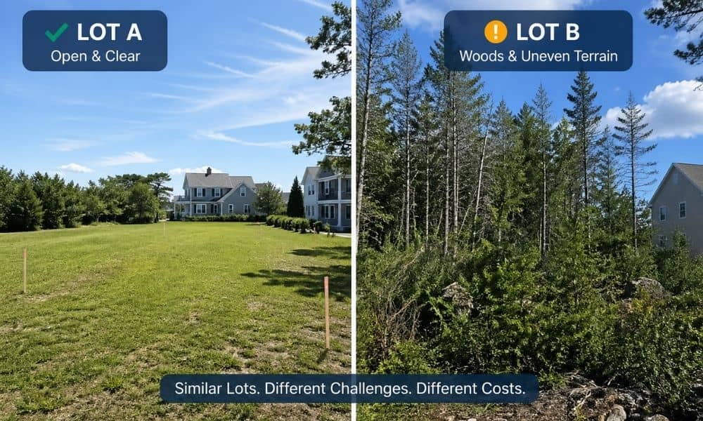
Two property owners in York call a surveyor in the same week. Their lots look almost the same. Both sit on quiet streets, and both have about the same size. Then the quotes come in. One pays much less. The other pauses and wonders why. This happens more often than people expect. Most assume the […]
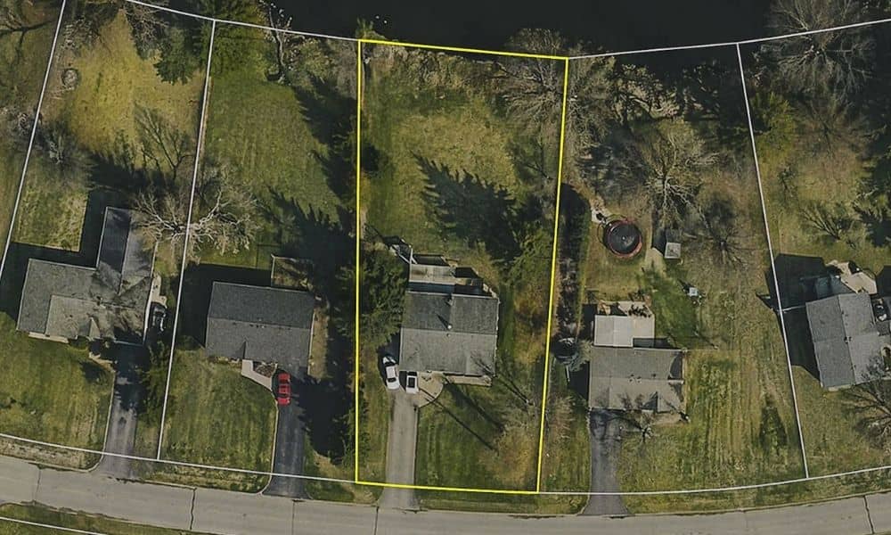
Survey Mapping: Why Online Property Maps Don’t Match
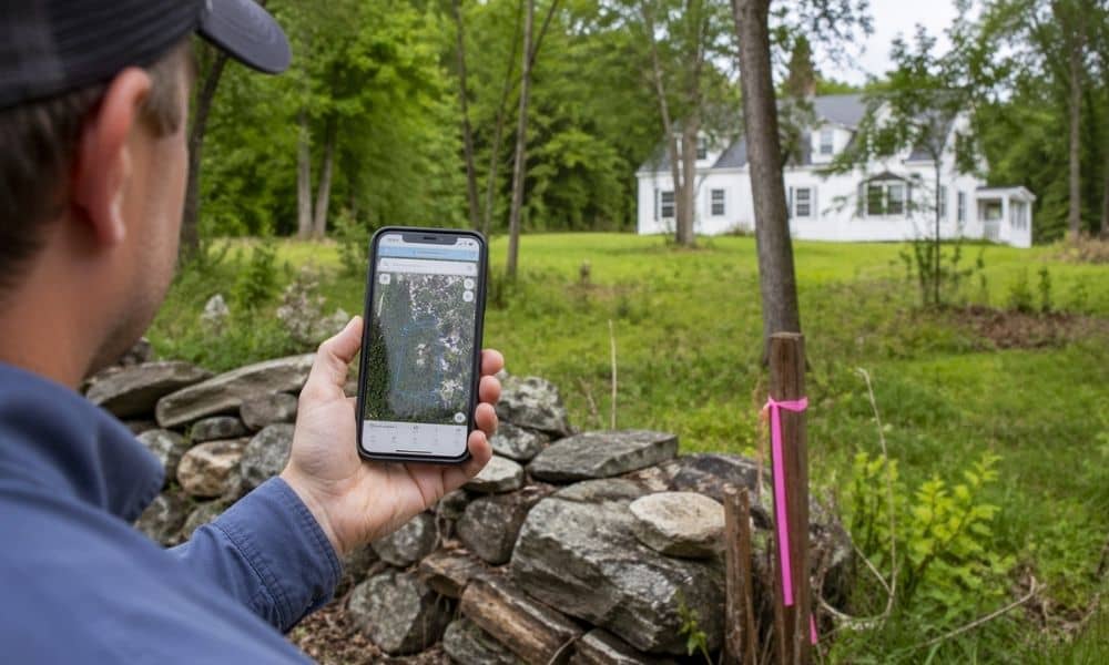
You pull up a property map online. The lines look clean. The lot looks simple. So you move forward with a plan. Then something feels off. A fence doesn’t line up. A neighbor questions the boundary. A contractor pauses before starting work. This happens more often than people think in York, Maine. Most of the […]
What to Check Before Hiring a Local Surveyor
Buying or improving a property in York, Maine can feel simple at first. Then something feels off. The lot looks different on paper. The neighbor’s fence sits closer than expected. The driveway seems tight. That’s usually when people start thinking about getting a second opinion. It’s easy to jump ahead and talk to a local […]