
land surveying
Topographic Survey: Why Airborne Mapping Matters
If you have looked up lately and seen low-flying aircraft over parts of Maine, you are not imagining it. State and federal teams have started
If you have looked up lately and seen low-flying aircraft over parts of Maine, you are not imagining it. State and federal teams have started
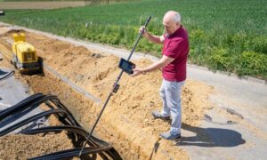
If you talk to surveyors and field crews lately, you’ll hear the same complaint again and again: utility locate mistakes keep causing jobsite problems. Paint
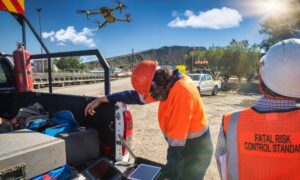
Drone land surveying has changed how surveyors collect land data. In recent years, drones helped teams work faster and safer. They also helped gather better