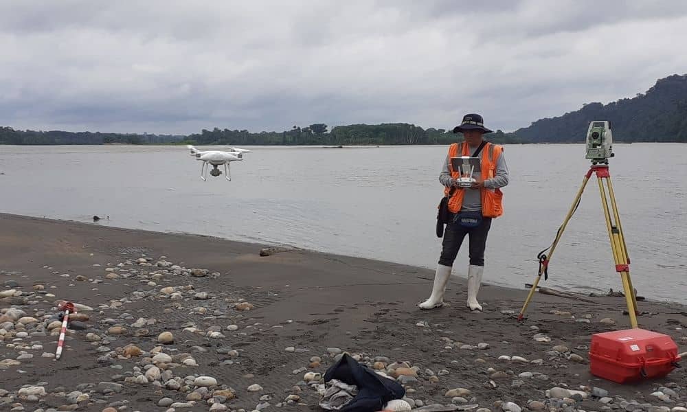
In York, Maine, storms can change the coastline overnight. Sand shifts, seawalls break, and property lines suddenly seem uncertain. For landowners and developers, that means one thing—getting an updated ALTA survey fast. Traditionally, these surveys take days of fieldwork, mapping, and verification. But new drone technology could make them happen in just a few hours.
From Military Drones to Maine Shorelines
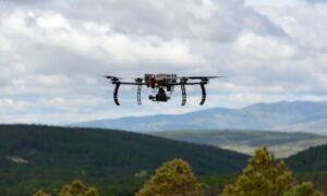
A recent U.S. Army test of “swarm drones” has captured attention far beyond defense circles. These small, unmanned aircraft flew as a coordinated team, mapping vast terrain in minutes. Now, that same idea—multiple drones working together—is making its way into civil engineering and land surveying.
In the past, a single drone handled one flight path at a time. If a site covered several acres, the surveyor had to repeat flights and manually stitch the data later. With swarm drones, several aircraft can scan an entire site at once. They share flight data, avoid overlap, and automatically build a single map. For a storm-hit area like York Beach, that speed could be the difference between waiting a week or getting your survey back the same day.
Why ALTA Surveys Need Fast Updates
An ALTA survey is more than a simple boundary check. It verifies easements, encroachments, and site improvements—everything a lender or title company needs to finalize a transaction. After major storms, those details can change fast.
A new retaining wall may sit inches outside a boundary. A fence might collapse into an easement. Or erosion could alter a property’s footprint. Without an updated ALTA survey, deals stall and insurance claims stay pending. Fast, accurate data becomes essential, and that’s where drone surveying shines.
How Drone Swarms Transform the Process
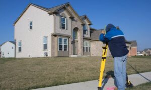
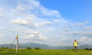
Imagine surveying two miles of York Beach after a nor’easter. Normally, a ground crew might spend two full days setting up control points, taking shots, and checking elevations. A single drone could reduce that to half a day. But with swarm drones, that same task might finish in under two hours.
Here’s how:
- Simultaneous mapping. Each drone covers its assigned section, coordinating in real time to prevent overlap.
- High-resolution imagery. Swarms capture both aerial photos and LiDAR data, giving detailed elevation and surface readings.
- Instant stitching. AI software merges all drone data as soon as the flight ends, producing a seamless orthophoto ready for the surveyor’s review.
These time savings don’t mean cutting corners. The accuracy still depends on ground control and final checks by a licensed surveyor. What changes is the turnaround—from multiple days to just one.
Coastal York’s Need for Speed
York’s coastline faces unique challenges. Storms reshape dunes, undermine seawalls, and flood roads every season. Each change can affect legal boundaries and property values. Developers rebuilding after a nor’easter often wait weeks for updated survey data before they can resume work.
With drone-assisted ALTA surveys, recovery could move much faster. Surveyors could launch swarms right after the storm clears, capturing data while damage is still visible. Those maps help insurers assess claims and engineers plan repairs before heavy machinery even arrives.
The benefit extends beyond emergencies, too. Regular drone flights can document long-term erosion trends, helping York plan seawall upgrades and coastal zoning decisions.
The Human Role Still Matters
Even with advanced drones, an ALTA survey still requires a licensed land surveyor. Technology handles the heavy lifting—capturing terrain data and imagery—but humans interpret the legal meaning behind it. Surveyors verify boundaries, confirm easements, and ensure the final map meets ALTA and NSPS standards.
Think of the drone swarm as a faster, safer way to collect information. It allows surveyors to focus on analysis and certification instead of hours of fieldwork in tough conditions. In storm recovery, it also keeps crews out of unsafe zones while still gathering accurate measurements.
Airspace, Privacy, and Local Rules
Drone surveying near the Maine coast comes with its own considerations. FAA regulations control how high and where drones can fly, especially near airports or residential zones. Surveyors in York must also respect privacy laws and town ordinances on aerial imagery.
As the technology spreads, towns may develop clearer rules about data storage and ownership. For example, when survey drones capture imagery for public projects, the question arises—who owns that data? Forward-thinking municipalities are already drafting guidelines to balance safety, privacy, and transparency.
Why It Matters for Property Owners and Lenders
For property owners, the biggest advantage is time. A faster ALTA survey means you can refinance, rebuild, or sell without long delays. For lenders and title companies, it means better risk control—especially when floodplain or erosion data changes overnight.
In York’s coastal market, where many deals hinge on FEMA and flood insurance requirements, having current elevation and boundary data is critical. Drone-assisted ALTA surveys make that possible almost immediately after a major weather event.
Developers also gain from real-time updates. Instead of waiting for traditional survey turnaround, they can adjust grading plans or drainage designs based on fresh aerial data. It reduces costly rework and keeps projects on schedule.
A Glimpse of the Future
Over the next few years, swarm drones will likely become standard tools for survey firms. With faster processing software and better sensors, they’ll deliver near real-time results. Insurance companies and municipalities may even start requiring drone-based ALTA updates after major storms.
That shift could reshape the way York, Maine, handles coastal management and property transactions. A process that once relied on days of fieldwork could soon take only hours, providing the same level of accuracy—and a lot less waiting.
Final Takeaway
Storms will keep testing the shoreline, but technology is catching up. The combination of drone surveying and the precision of an ALTA survey offers a faster, smarter way to map what nature changes.
If your property was affected by recent flooding or erosion, don’t wait until closing day to find out where your boundaries stand. Contact a local licensed surveyor and ask whether drone-assisted ALTA mapping can speed up your next project. In the new age of swarm drones, same-day surveys are no longer science fiction—they’re the future of coastal land development.

