When storms roll through York, most people think about downed trees, flooded basements, and shingles flying off rooftops. Yet, one of the hidden effects of heavy rain and coastal winds often goes unnoticed: shifting property lines. After a powerful storm, fences lean, soil washes away, and markers get buried. This is where a boundary line survey becomes more than a technical service—it becomes a safeguard for your home, your land, and your peace of mind.
How Storms Can Quietly Change Your Property
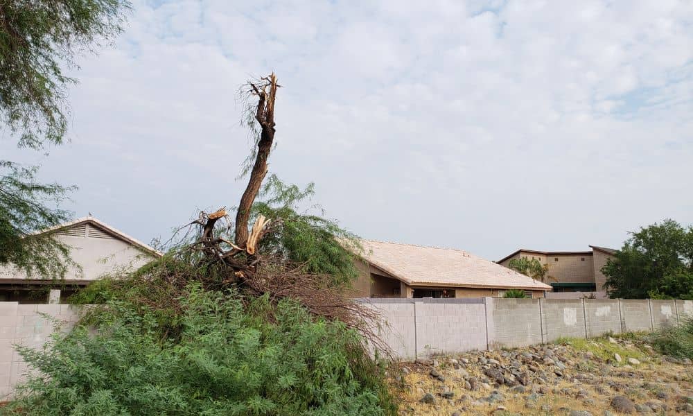
The recent thunderstorms that swept across the Northeast brought damaging winds, hail, and flash flooding. For a coastal community like York, this kind of weather has serious consequences. Shoreline dunes erode, tree roots lift sections of soil, and corner pins that once sat firm in the ground may no longer mark the right spot.
Even a small shift matters. Imagine your driveway edge creeping toward your neighbor’s lawn after erosion, or a retaining wall sliding a few inches downhill. Suddenly, that clear division between “mine” and “yours” starts to blur. When that happens, it becomes harder to define property boundaries with certainty. Left unchecked, these changes can spark arguments, delay a home sale, or complicate an insurance claim.
Everyday Signs of Shifting Boundaries
You don’t need to be a surveyor to notice something is off after a storm. Look for new cracks in your driveway, fences that no longer line up, or a corner stake that seems to have sunk. Maybe water carved a small channel along the edge of your lot, making your yard smaller than it looked before. These little red flags often point to bigger boundary issues waiting beneath the surface.
Homeowners sometimes shrug them off, assuming everything will settle. The problem is, land rarely resets itself. Once boundaries shift, the line of ownership becomes cloudy, and that’s when disputes arise.
Why Timing Is Everything
One reason to act fast is insurance. If you plan to file a claim for storm damage, you need clear proof of what your property includes. Without updated documentation, insurers may deny coverage, especially if your damage involves shared features like fences or retaining walls.
Another reason is neighbor relations. It’s easier to have a conversation backed by professional evidence than by guesswork. A boundary line survey eliminates “he said, she said” arguments by showing the exact line, measured and documented by a licensed land surveyor.
The Role of a Boundary Line Survey
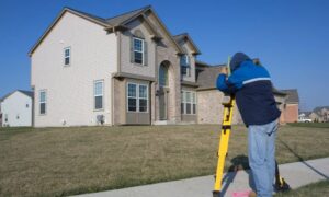
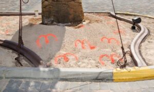
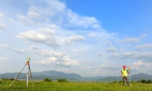
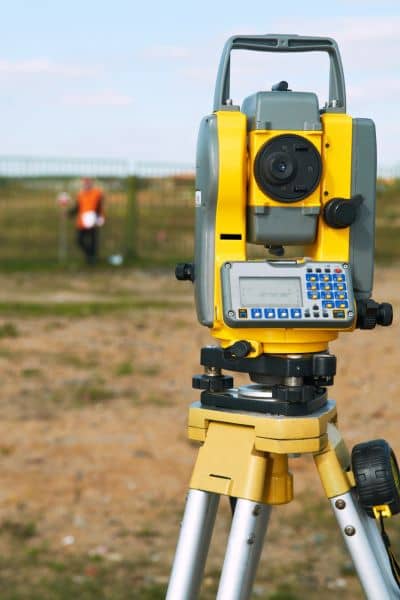
So, what exactly does a boundary survey do after a storm? A surveyor uses advanced tools—GPS systems, total stations, sometimes even drones—to re-establish your legal property lines. They compare your deed with physical markers and current conditions, then place or replace monuments that show exactly where your land starts and ends.
In York, where coastal erosion and storm runoff are common, surveys are more than paperwork. They restore clarity to landowners, protect property rights, and provide official records for insurance and legal purposes.
Real Consequences of Skipping a Survey
It may feel tempting to delay. After all, surveys cost money, and storms already bring plenty of expenses. But skipping this step can cost much more in the long run.
Consider a homeowner whose fence was pushed onto his neighbor’s yard by flooding. Without a survey, he rebuilt in the wrong spot. Months later, the neighbor sold the property, and the new owner demanded the fence be moved—at the homeowner’s expense.
Another family in York tried to sell their house, only to have closing delayed because the buyer’s attorney flagged uncertain property lines. The storm damage had shifted the landscape enough that only a new boundary survey could resolve the deal.
These stories highlight one truth: boundaries matter most when money and neighbors are involved.
Local Relevance in York
York’s unique mix of coastal homes, wooded lots, and historic properties makes boundary clarity even more critical. The town sees frequent nor’easters and summer thunderstorms, each capable of altering the landscape. Waterfront homeowners especially face risks as tides and storm surge eat away at dunes. Even inland residents deal with washouts on sloped lots.
Because York has strict building and zoning requirements, storm recovery often triggers permits. Before repairing a retaining wall or rebuilding a deck, you may need proof of your true property lines. A current boundary line survey ensures your project aligns with local codes and prevents costly rework.
When to Call a Licensed Land Surveyor
You don’t need a survey after every rainstorm, but certain situations call for one right away:
- You notice missing or tilted corner markers.
- Fences, sheds, or driveways appear out of line.
- A neighbor makes claims about shared boundaries.
- You’re preparing an insurance claim or property sale.
In each case, a surveyor gives you clarity and confidence. Instead of relying on guesswork, you’ll have accurate, defensible documentation.
Protecting Peace of Mind
Storms are unpredictable, but your property rights shouldn’t be. Acting quickly after a storm ensures your land remains clearly defined and legally protected. Waiting until a conflict arises only adds stress to an already difficult situation.
Hiring a licensed land surveyor is not just about maps and measurements. It’s about securing peace of mind, preventing disputes, and safeguarding one of your biggest investments—your home.
Final Thoughts
Residents know storms are part of coastal living. But while you can’t stop heavy winds or rising tides, you can take control of how they affect your property. A boundary line survey after storm damage reveals shifts before neighbors do, giving you clarity, evidence, and protection when you need it most.
Strong winds may move soil or tilt fences, but your property rights don’t have to be left in doubt. A survey gives you certainty after the storm, and having a reliable surveyor ensures your land stays clearly defined.
