Survey Mapping: Why Online Property Maps Don’t Match
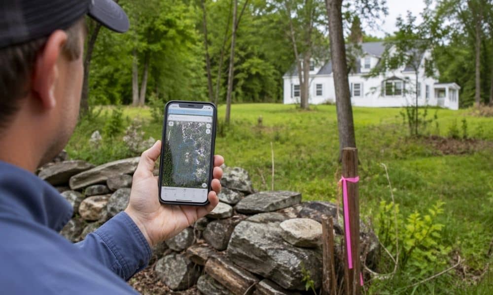
You pull up a property map online. The lines look clean. The lot looks simple. So you move forward with a plan. Then something feels off. A fence doesn’t line up. A neighbor questions the boundary. A contractor pauses before starting work. This happens more often than people think in York, Maine. Most of the […]
How an ALTA Land Title Survey Protects Your Property Purchase
Buying property should feel like a win. But for many buyers, problems don’t show up until after the deal is done. This is where an ALTA/NSPS Land Title Survey becomes more than just a formality—it becomes protection. In recent online discussions, many homeowners shared frustration about issues they discovered too late. They skipped certain due […]
How a Topographic Survey Helps Avoid Rebuild Delays
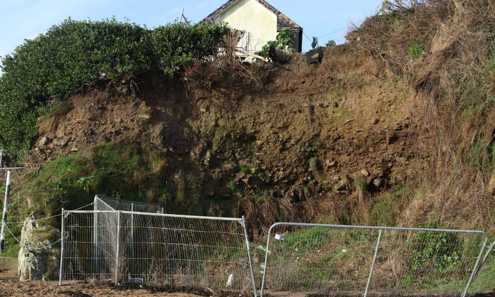
Recent waves along the coast of York left many property owners dealing with more than just cleanup. At first, the damage looked manageable. A few repairs, maybe some grading, and things should go back to normal. However, that is not how it often plays out. Many rebuild projects slow down, not because of the damage […]