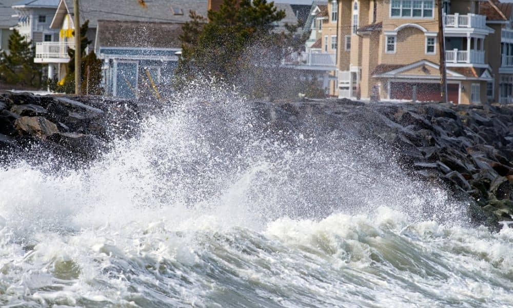
When a coastal storm pushes high surf into York, it does more than rattle windows and soak the beach. It can also shift dunes, scrape away sand, and change the very ground your home stands on. If you live near Long Sands, Short Sands, or Cape Neddick, these changes can affect something many property owners overlook until it’s too late: the Elevation Certificate.
An elevation certificate is a surveyor-prepared document that shows how high your home or building sits compared to the base flood elevation set by FEMA. Insurance companies, building officials, and even buyers rely on it to measure flood risk. If that certificate no longer reflects reality because last night’s storm cut into a dune or piled sand against your foundation, you may suddenly face new FEMA requirements or higher insurance costs.
How Storms Change the Ground Beneath You
Storms don’t just leave behind seaweed and driftwood. They reshape the coastline in subtle but important ways. Waves can chew away at dunes, lowering the ground around foundations. In other spots, they dump sand, raising the grade and covering markers that once stood clear.
These shifts are more than cosmetic. FEMA’s system for setting flood insurance premiums depends on the “lowest adjacent grade” around your structure. If that grade changes, your risk profile changes too. A home that looked safe on paper yesterday might appear vulnerable today. And if your elevation certificate no longer matches the true conditions, both your town permits and your insurance company could flag the issue.
Think of the dune as your first property line. When surf cuts into it, the numbers on your paperwork may no longer match the land in your backyard.
Why the Elevation Certificate Matters After a Storm
Some property owners assume an elevation certificate is a one-time document. You get it when you buy a house or apply for flood insurance, then you file it away. But in coastal towns like York, storms can quickly outdate the data.
Insurance is one reason to care. FEMA’s National Flood Insurance Program (NFIP) uses elevation certificates to set premiums. If the grade has dropped around your foundation and your certificate doesn’t show it, you may be paying less than the risk calls for. When the discrepancy is discovered—often during a claim—that mismatch can slow the payout process.
Permitting is another reason. York’s coastal overlay rules are strict. If you need to repair stairs, rebuild a dune walkover, or replace a seawall after storm damage, the town may require updated grade information. Submitting an outdated elevation certificate can delay approvals, stretching a project that should take weeks into months.
In short, storms don’t just move sand. They can move the goalposts on your paperwork.
What Property Owners Can Do Right Now
After a storm, the most important thing is safety. Once conditions settle, though, take a closer look at your property. Walk the perimeter and notice if dunes have retreated or if sand piles now sit higher against your home. These small changes are often the first clues that your elevation data may be off.
Taking photos helps. Snap shots of corners, markers, and fixed features like seawalls or pilings. These images create a record you and a surveyor can compare against previous conditions. Even if the differences seem small, the lowest adjacent grade is a critical figure on your certificate. A few inches can matter.
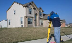
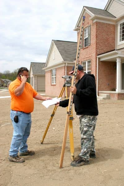
If you notice visible changes, reach out to a licensed land surveyor. They can advise whether your certificate still stands or if a new survey is needed. In York, many surveyors are familiar with FEMA’s standards and the town’s coastal permitting process, so you’ll save time and stress by getting professional input early.
Tools to Help You Track Flood Risk
You don’t have to guess about storm impacts. Several tools make it easier to see what’s happening before and after a major weather event:
- National Weather Service Gray (GYX) posts surf zone forecasts and advisories for southern Maine beaches. These reports give context about when high surf might affect dunes.
- The Washington Post’s storm tracker offers easy-to-read maps that show the path of coastal systems as they climb the Atlantic seaboard.
- NOAA Digital Coast calculators allow you to model “nuisance flooding” and see thresholds for different coastal areas.
By combining these resources with local observation, property owners get a fuller picture of risk. And that awareness can prevent unpleasant surprises later, whether it’s during a permit application or an insurance claim.
When an Updated Elevation Certificate Is Needed
Not every storm means you need a new certificate. But certain situations make it smart to check in with your surveyor:
- Visible ground changes around foundations, steps, or dune walkovers.
- Repair or rebuilding projects that trigger coastal overlay permitting.
- Insurance renewals in which your provider requests confirmation of current risk data.
It’s also worth noting that FEMA updates its flood maps periodically. When new maps overlap with storm-altered landscapes, the combination can create real headaches for property owners who rely on old paperwork.
Why Hiring a Local Surveyor Matters
Elevation certificates can only be completed or updated by licensed professionals. In Maine, that usually means a land surveyor, though engineers and architects can also prepare them. A local surveyor, however, offers more than credentials. They bring knowledge of specific dunes, overlays, and permitting habits.
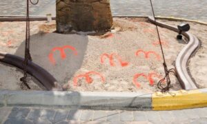
They understand where markers are likely to be buried and how the town interprets setback rules. That local context speeds up both the survey and the permitting process. Plus, a Maine-based surveyor ensures the data aligns with FEMA’s standards, so your certificate stands up under scrutiny.
Conclusion:
Every storm that hits leaves a mark on the coast. Some marks are obvious, like toppled fences or flooded roads. Others are hidden, like a dune that shifted just enough to change your lowest adjacent grade. Both can impact your elevation certificate, which in turn shapes your insurance costs and your ability to pull permits.
If your property sits near the ocean, consider having a surveyor review your certificate after this week’s high surf. It’s a simple step that can save you from expensive surprises later.
Because storms don’t just move sand—they can move the numbers that keep your home safe, insurable, and compliant.

