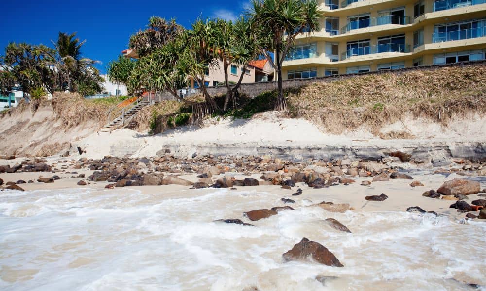
When the waves get rough along York’s coastline, homeowners feel it right away. Seawalls crack, dunes wash away, and sandy backyards turn into cliffs overnight. After this season’s nor’easter, York’s beaches at Long Sands and Short Sands look completely different. The shoreline literally moved. And that raises a question few people think about until it’s too late—what happens to your property lines when the coast itself changes? If you live near the water, this is where a boundary survey comes in. It’s not just paperwork or red tape. It’s how you confirm what you legally own after the land shifts under your feet.
When Nature Moves the Line
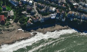
Coastal erosion is nothing new in Maine, but this last storm hit hard. High surf pounded the seawall, leaving chunks of concrete scattered across the sand. Dunes that once stood five feet tall are now flat, and fences that marked property limits have vanished.
When that much land disappears, homeowners often wonder if their lot “got smaller.” Technically, your legal boundaries stay tied to what’s recorded in your deed and past surveys. But the physical evidence—the corner pins, stakes, and visible landmarks—can get washed away. That’s when confusion begins. You might think your seawall still sits within your lot, but a few feet of erosion could say otherwise.
What a Boundary Survey Does After Erosion
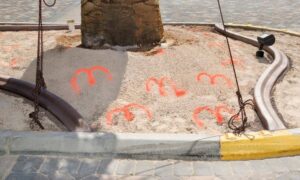
A boundary survey is how a licensed land surveyor re-establishes your property lines when the old markers are gone. They pull together your deed, subdivision map, and any prior surveys. Then they measure and compare what’s on the ground to what’s on record. If erosion or construction work destroyed your original corners, they use reference points from nearby monuments and coordinate systems to recreate the correct line.
In coastal towns like York, this work is more than routine. Surveyors often deal with complex conditions—salt marshes, seawalls, dunes, and tide zones. They have to balance legal accuracy with physical change. Even a few inches can matter when your fence, patio, or retaining wall is close to the limit.
And when boundaries near the shoreline blur, a boundary survey keeps things clear. It documents where your property truly begins and ends, even if the beach looks different every season.
York’s Changing Coastline
York officials know the problem well. The Long Sands Seawall Project has been ongoing for years, aimed at protecting roads and homes from storm damage. Each nor’easter tests the limits of that structure. Engineers from the York Department of Public Works track how the seawall shifts and how dunes migrate inland. When those grades change, nearby properties can lose—or gain—visible ground.
It’s not only the oceanfront homes that feel it. Inland properties near tidal marshes can also see boundary changes when floodwaters wash away soil. A property corner that once sat above a slope might now be at the bottom of an eroded drop. Without a survey, you can’t know if the ground you’re repairing still belongs to you.
How Surveyors Recover Lost Corners
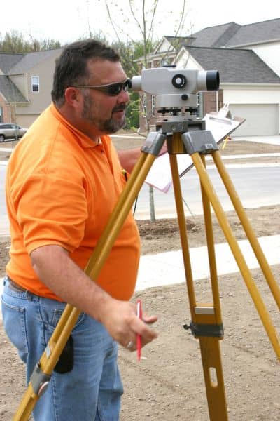
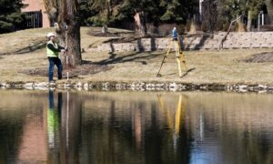
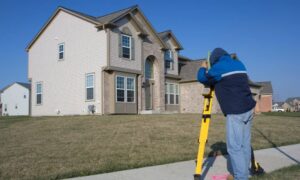
Surveyors follow a careful process when erosion erases visible evidence. They start by looking for what’s left—old iron rods, stone walls, or concrete markers that survived the storm. Using total stations and GPS receivers, they measure from known control points and recreate your boundary based on the best remaining evidence.
Sometimes, there are no markers left. In those cases, they rely on record monuments—locations noted in official plats and deeds. By analyzing those measurements and comparing them to what still exists, they restore the line with precision. It’s a mix of math, fieldwork, and detective work, guided by both engineering skill and boundary law.
Once complete, you’ll get an updated plan showing exactly where your corners are now. That plan can be filed for town permits, used in court if needed, or kept for your insurance records.
The Connection to Flood Risk and FEMA
Boundary surveys along the coast often overlap with FEMA elevation certificates. When erosion changes the ground level, your flood zone might change too. A surveyor can collect elevation data while marking boundaries, giving you both property clarity and flood risk details in one visit.
This matters for insurance and building permits. If you plan to rebuild a seawall, raise your home, or apply for a LOMA (Letter of Map Amendment), you’ll need accurate boundary and elevation data. A current survey prevents delays and saves you from starting projects that could end up outside your legal footprint.
Drones and LiDAR: Seeing Change from Above
Today’s coastal surveyors aren’t just walking the beach with tape measures. Many use drone surveying and LiDAR mapping to capture the shoreline from above. These tools create precise 3D models that show how much sand, soil, or structure has been lost after a storm.
For properties near beaches, drones can safely record erosion zones without disturbing fragile dunes. That data helps surveyors line up what the coastline looked like before and after the storm—pinpointing where your property markers used to be.
It’s not science fiction; it’s how modern surveyors protect coastal property rights in a world where storms are getting stronger and more frequent.
When to Act
Many homeowners wait until a problem forces them to call a surveyor. But along coast, waiting can backfire. The longer you leave damaged corners unchecked, the harder it becomes to re-establish them accurately. Sand shifts fast, tides wash away clues, and new construction nearby can confuse future measurements.
If you notice missing markers, broken fences, or seawall damage near your property edge, reach out to a local surveyor soon. They can confirm your lines before you invest in repairs or rebuilds. You’ll also have documentation ready if you need to talk to your insurance company or the town about reconstruction permits.
What This Means for Homeowners
Coastal living has its perks, but it also comes with responsibilities. After every major storm, property owners face tough questions: How far did the erosion go? Did my wall or patio cross the legal boundary? Can I still rebuild in the same spot?
A boundary survey answers those questions with certainty. It restores clarity after the chaos, turning guesswork into documented proof. For some, that means avoiding disputes with neighbors. For others, it means protecting thousands of dollars in property value.
Final Thoughts
Nature may move the sand, but your property rights shouldn’t drift with the tide. Each major storm reshapes the shoreline, testing both seawalls and survey records. If erosion has altered your view—or your yard—it’s time to confirm where your property truly stands.
A professional boundary survey gives you the facts you need to rebuild confidently, stay compliant with local rules, and protect what’s yours for the long run.
Know your corners, know your coast—and make sure the next wave doesn’t redraw your line.
