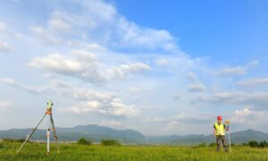
If you follow global news, you may have seen a surprising story this week. In Telangana, India, the government launched a massive land-mapping project that sent more than 3,500 surveyors across the entire state. They are using GPS tools, digital systems, and updated land records to fix old boundaries and settle disputes. It is one of the biggest land-mapping efforts the world has seen, and it shows just how quickly the surveying industry is changing. And here in York, Maine, that same shift is happening in a quieter but very real way. More people now choose a drone survey to understand their land better and keep up with today’s rules.
This global trend might feel far away, yet it raises a simple question for local property owners: Are your land records as accurate as they should be?
A Global Push to Fix Old Land Data
India’s mega-project started because many people lived with unclear boundaries and old paper records. Some families argued over where a fence should go. Others struggled with land taxes or construction permits because their maps didn’t match what existed on the ground.
Although York, Maine doesn’t have the same huge population or farmland, it still faces a similar problem: many properties rely on surveys done decades ago. Some plans come from the 1970s or earlier. As the landscape changes over time—especially along the coast—old measurements no longer match today’s reality. Trees fall, soil moves, shorelines shift, and structures come and go. Yet many homeowners still depend on outdated drawings.
This is why more towns, including York, now depend on up-to-date digital land data to make decisions. They want accurate elevations for flood zones. They want clear boundaries for new construction. And they need precise information for zoning, drainage, and coastal protection. That is exactly where modern tools enter the picture.
York, Maine Is Quietly Moving Toward Modern Mapping
Even though the change feels slow, York has already taken several steps that rely on accurate land information. Whenever FEMA updates flood maps, homeowners suddenly face new requirements. Some properties get moved into higher-risk zones. Some need an elevation update for insurance. Others need clear boundaries before building a deck or addition.
This doesn’t mean old surveys were wrong. It simply means the land changed, or the rules changed, or both. When a shoreline erodes a few inches each year, a 20-year-old map won’t show the current edge. When drainage patterns shift, the old grading no longer matches the new conditions. And when a property owner improves their land, the survey might not reflect the updates.
Because of this, homeowners now need land data that is fresh, detailed, and digital—something that old paper surveys can’t provide.
Why Old Plot Plans Can Cause New Problems
Many landowners still keep a rolled-up plot plan in a drawer and assume it shows everything they need. But those plans don’t always match the reality you see today.
Here are a few examples:
- A property near Long Sands Beach might sit on a different elevation today because storms or waves changed the grade.
- A wooded inland lot may have boundary markers that fell years ago, leaving no clear reference points.
- A home in a flood-risk zone may need exact elevation data for insurance or a construction permit.
When a homeowner relies on this older information, issues appear during property sales, mortgage approval, or construction planning. And when two neighbors have different versions of a map, it can lead to disputes.
In India, the government solved this by updating the entire land system at once. York won’t need something that extreme, but we are still moving toward the same goal: clear, accurate, digital land records.
The Drone Survey Bridges the Gap

This is where the drone survey becomes essential. It doesn’t replace every type of survey, but it brings land mapping into the modern world.
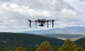
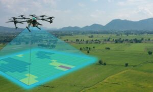
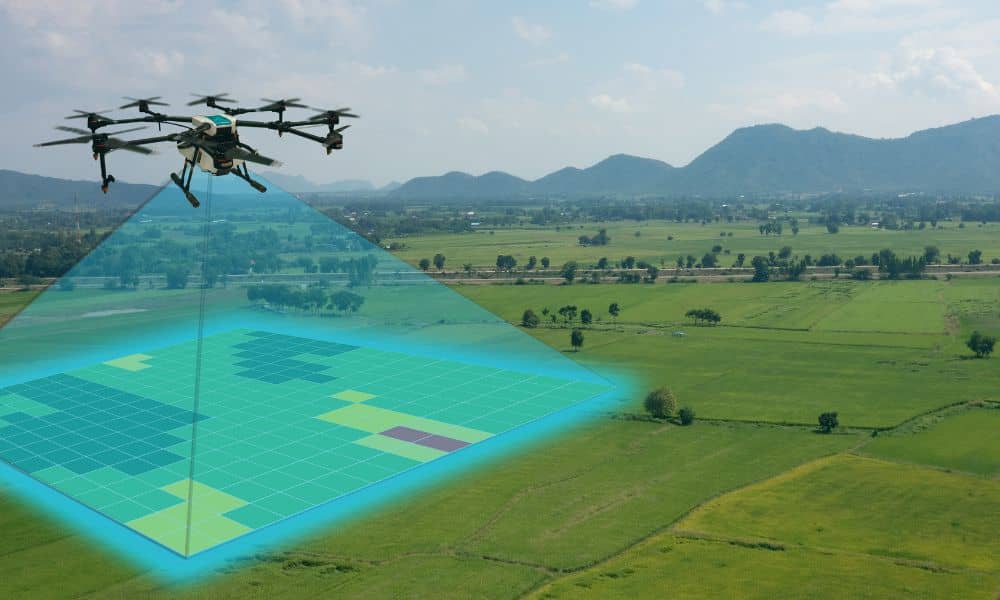
A drone captures detailed images from above, collects elevation data, and builds 3D models of the land. These maps show the real shape of the property—every slope, dip, and corner. And unlike walking the land with old equipment, drones see the entire site at once. They don’t miss steep slopes, wet areas, or wooded sections.
Most importantly, the drone survey works well with GIS systems, flood data, planning software, and town mapping tools. This gives towns and homeowners a clearer picture of what exists right now, not what existed 20 or 30 years ago.
As rules continue to evolve—especially with more frequent flood updates and shoreline protections— homeowners need this level of accuracy more than ever.
Real York Examples That Show the Need for Modern Mapping
1. Coastal Homes and Flood Zone Changes
A homeowner near York Beach may discover that FEMA updated the flood zone. Before they sell, refinance, or build, they need an accurate look at how high the land sits now. A drone survey reveals the real elevation and helps support the documents needed for insurance and permits.
2. Large, Wooded Lots With Unknown Boundaries
Many inland areas in York have trees, slopes, and old markers that no longer exist. A drone survey shows the full layout from above, making it easier for a surveyor to confirm boundaries and guide property improvements or subdivisions.
3. Waterfront Erosion and Shoreline Movement
Homes near the water deal with constant change. A drone survey captures every shift along the bluff or shoreline. With this information, owners can plan safe construction, protect their land, or support permit applications.
Each of these examples shows the same point: the land changes, and the data must catch up.
What Homeowners Should Do Next
If your last survey is more than 10–20 years old, your land may not match your records. And if you own a coastal or wooded property, even five years can make a difference.
You don’t need a huge mapping project like India’s to fix the problem. You can update your land data in a simple, smart way by asking your surveyor whether a drone survey fits your property. This gives you accurate information before you face a flood map change, a zoning update, or a big project.
Because York relies on clear land data more than ever, taking this step now saves trouble later.
A Global Story With a Local Lesson
India needed thousands of surveyors to update an entire state. York doesn’t need anything that extreme, but the lesson still applies. Land changes. Rules change. And old surveys don’t always keep up.
The drone survey offers a modern, affordable, and reliable way to keep your property records accurate. As York continues balancing growth with natural beauty, this tool helps homeowners stay ahead of shifting boundaries, rising flood risks, and new regulations.
It’s simple: the future of land mapping is already here, and it starts with getting the right data today.
