Elevation Certificate Guide Before Renovating or Refinancing
If you live in York, Maine, and plan to renovate your home or refinance your mortgage, you may hear a new term: elevation certificate. At first, it can sound confusing. Many homeowners only learn about it after a permit delay, a lender request, or a contractor warning. By then, the project often sits on hold. […]
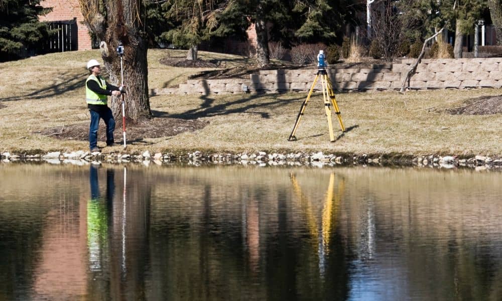
Why Drone Land Surveying Is Changing

Drone land surveying has changed how surveyors collect land data. In recent years, drones helped teams work faster and safer. They also helped gather better details. However, new rules, supply problems, and stricter standards now force survey firms to change how they plan, fly, process, and share survey data. Because of these changes, workflows that […]
Why the ALTA Land Title Survey Is Still the Gold Standard
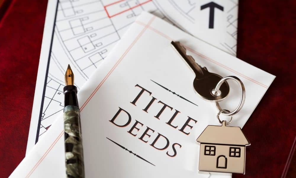
Digital maps are everywhere. With a few taps, you can see property lines, roads, and buildings from your phone. Because of that, many buyers assume those maps are accurate enough to trust. However, when real money, ownership, and legal responsibility are involved, “close enough” can become a serious problem. That’s where the ALTA Land Title […]