If you live in York, Maine, and plan to renovate your home or refinance your mortgage, you may hear a new term: elevation certificate. At first, it can sound confusing. Many homeowners only learn about it after a permit delay, a lender request, or a contractor warning. By then, the project often sits on hold. However, with a little planning, you can avoid those delays and stay on schedule.
Why an Elevation Certificate Matters in York
York sits along the coast, which brings beauty and value. At the same time, it also brings stricter building rules. Local zoning laws, flood rules, and coastal limits all affect what you can build and how you can change your home. Because of this, town officials and lenders often ask for clear elevation data before they approve projects.
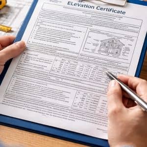
An elevation certificate shows how high your home sits compared to official flood levels. Many people connect it only to flood insurance. Still, it also plays a key role in permits, renovation plans, and loan approval.
In simple terms, this document proves that your project meets safety and building rules. Without it, even small projects can face delays.
When Renovation Projects Trigger Elevation Certificate Requests
Not every home project needs an elevation certificate. However, many common upgrades in York do. Once work changes the structure, foundation, or layout of a home, town reviewers may ask for proof of elevation.
These projects often trigger requests:
- Home additions
- Finished basements
- Garage conversions
- Decks and stairs
- Foundation repairs
- Structural upgrades
For example, when you add space or change floor height, officials want to confirm that your home still follows flood rules. Because of this, elevation checks become part of the permit process.
Planning ahead keeps your project moving instead of waiting.
How Elevation Data Fits Into York’s Permit Process
York has strict rules to protect homes near the coast. Permit staff review plans carefully to reduce flood risk and protect nearby land. As part of this review, they often rely on elevation data.
If your plans lack accurate elevation details, the town may ask for updates. This step can delay approvals by weeks. During that time, contractors wait, schedules shift, and costs rise.
However, when homeowners submit elevation data early, permits often move faster. Clear data builds trust and avoids repeat reviews.
Why Lenders Ask for Elevation Certificates During Refinancing
Refinancing adds another layer of review. Banks want to limit risk. As a result, they review flood exposure, foundation height, and safety details.
An elevation certificate gives lenders clear proof that your home meets safety standards. Without it, loan approval may pause until new data arrives.
Since refinance timelines already feel tight, these delays cause stress. Still, early planning helps prevent last-minute surprises.
The 15-Minute Planning Check That Saves Weeks
Before you hire a contractor or submit plans, take 15 minutes to review your flood zone. This quick step helps you decide whether you may need an elevation certificate.
First, find your property on FEMA’s flood map. Next, check your zone type. Then, compare your home’s location to nearby flood areas.
If your home sits near coastal or low-lying land, expect elevation requests. Planning ahead keeps your project on track.
How Missing Elevation Data Creates Hidden Costs
Many homeowners focus only on build costs. However, missing elevation data often creates hidden expenses.
These delays can lead to:
- Contractor downtime
- Plan redesign fees
- Permit resubmission costs
- Missed weather windows
- Rising material prices
As a result, even small upgrades can turn into long projects with growing costs. On the other hand, early planning helps avoid these problems.
How an Elevation Certificate Influences Renovation Design
Elevation data shapes how builders design your project. It guides many important choices, including:
- Finished floor height
- Entry and stair layout
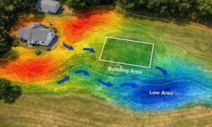
- Drainage flow
- Foundation design
- Water control planning
When designers know these limits early, they create plans that meet code the first time. That saves time, money, and frustration.
Elevation Certificate vs Construction Survey: What’s the Difference?
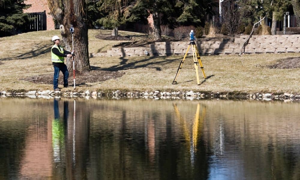
An elevation certificate focuses on flood safety. A construction survey maps building layout and property lines.
Some projects need both. For example, when you expand your home’s footprint, builders must confirm layout and height together.
By planning both early, homeowners prevent mistakes that cause delays and extra costs.
Smart Planning Before Renovating or Refinancing
Before you start a major project, a few simple steps can help:
- Check your flood zone
- Ask permit staff about elevation needs
- Schedule survey work early
- Share elevation data with contractors
These steps keep projects moving smoothly.
Final Thoughts: Protect Your Timeline and Budget
In York, elevation planning protects more than flood rules. It protects your timeline, design choices, permit approvals, and loan progress.
By ordering an elevation certificate early, you take control of your project. Instead of reacting to delays, you plan ahead and stay on track.
Whether your goal is a small upgrade or a full renovation, early elevation planning offers one of the smartest moves you can make for your home.