How to Read an Elevation Survey Before You Buy or Build
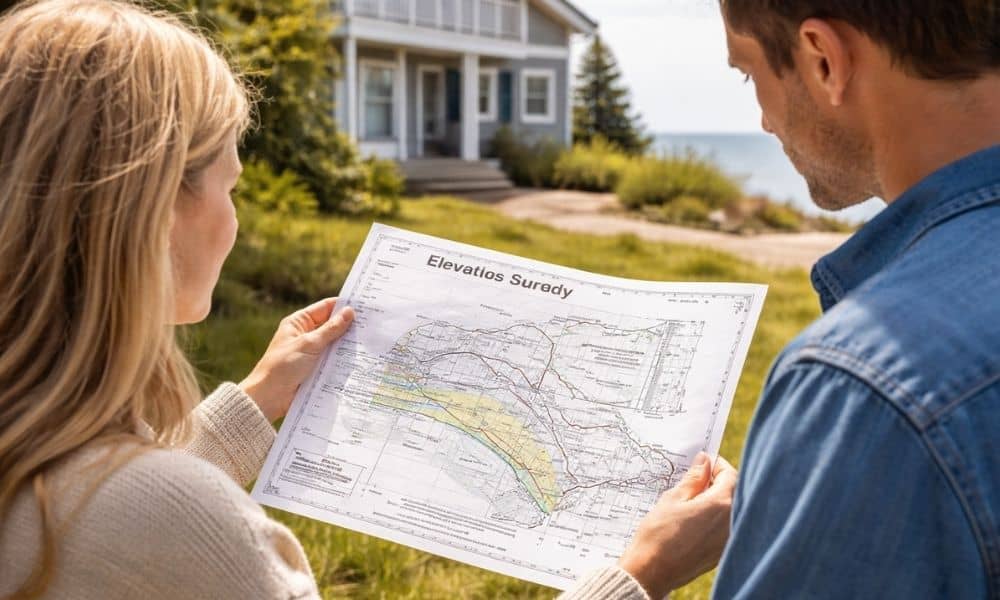
Buying or building near the coast in York, Maine feels exciting. However, one document often causes confusion right away—the elevation survey. You might receive it during closing. Or you might need it before you start building. Either way, it can look like a page full of numbers and labels that don’t make much sense at […]
Floodplain Changes Boost Flood Elevation Certificate Demand
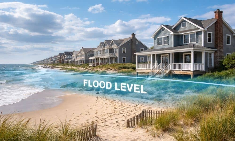
Life near the ocean in York, Maine brings great views, fresh air, and easy trips to the beach. However, living close to the coast also means paying attention to flood risk. Recently, work along the southern Maine coast has brought more focus to how shorelines and flood zones can change over time. Because of this, […]
Boundary Survey: Avoid Costly Property Line Disputes

Property lines may look simple. Many people think fences, trees, or stone walls show where land begins and ends. However, land boundaries can be more complex. Recent news about the York–Kittery border issue shows how confusing boundaries can become when records are not clear. While that issue involved two towns, the same problem can happen […]