Property Line Survey: Documents You’ll Want Ready First
If you are planning a fence, an addition, a home sale, or a property purchase, there is a good chance you will need a property line survey. Most homeowners expect the process to start when the survey crew arrives on-site. In reality, the work begins much earlier—with documents. In Maine, especially in older towns and […]
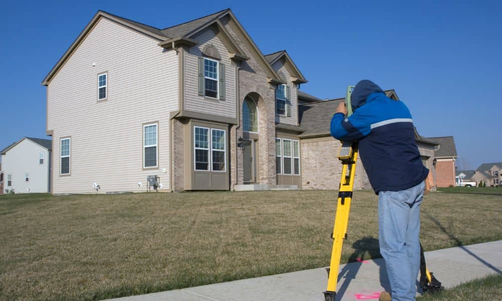
Construction Staking Survey: Stake It Before You Pour

If you watched the huge surf video that WMTW shared from Short Sands Beach in York, Maine, you probably felt that mix of awe and worry. Waves crashed close to homes. Then real life kicked in. After a storm clip goes viral, people don’t just share it. They start fixing things—stairs, patios, short walls, and […]
How GPS-Free UAV Survey Tech Transforms Forest Mapping

Most people think drones can map any piece of land if the pilot knows what they’re doing. But that isn’t true in many wooded or remote places. Thick trees, steep slopes, and narrow valleys often block satellite signals, which makes GPS weak or unreliable. When GPS fails, drone mapping falls apart fast. This is why […]