Construction Survey: Stop Costly Utility Locate Mistakes
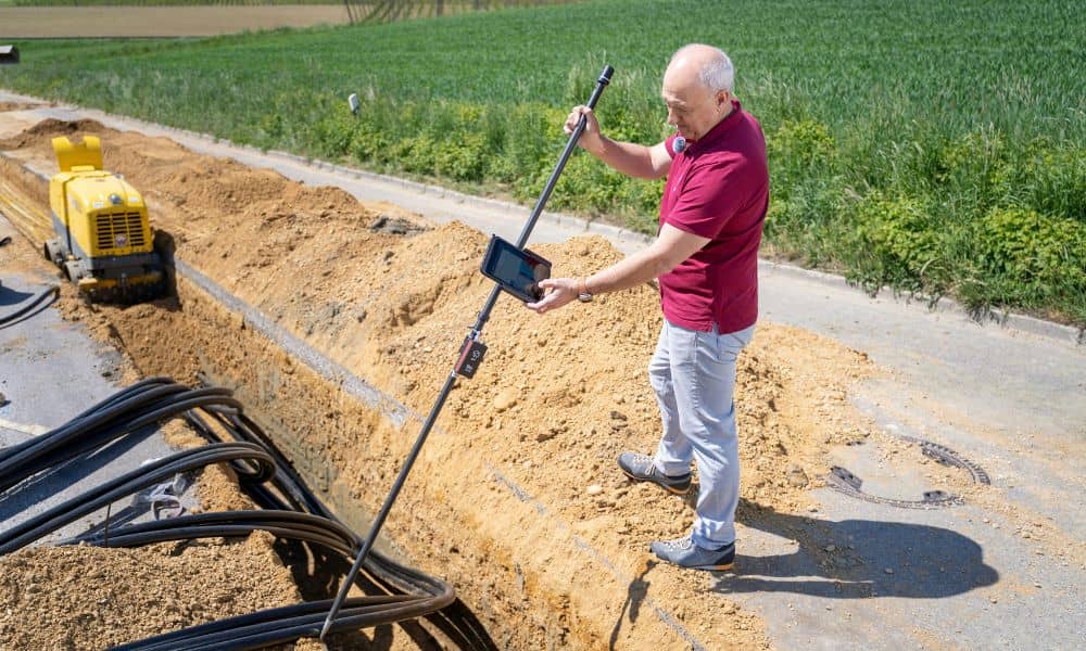
If you talk to surveyors and field crews lately, you’ll hear the same complaint again and again: utility locate mistakes keep causing jobsite problems. Paint marks don’t match reality. Map screenshots replace field checks. Old records get treated like the exact truth. Then digging starts — and suddenly everything stops. As a result, projects stall, […]
When You Need a Boundary Line Survey in Shoreland Zones

Living near the coast gives you amazing views, fresh ocean air, and a peaceful setting. However, it also comes with special building rules that many homeowners don’t expect. These rules can affect even small projects. Because of this, a boundary line survey often becomes a key step before you build, repair, or upgrade anything near […]
Elevation Certificate Guide Before Renovating or Refinancing
If you live in York, Maine, and plan to renovate your home or refinance your mortgage, you may hear a new term: elevation certificate. At first, it can sound confusing. Many homeowners only learn about it after a permit delay, a lender request, or a contractor warning. By then, the project often sits on hold. […]