Why Drone Land Surveying Is Changing
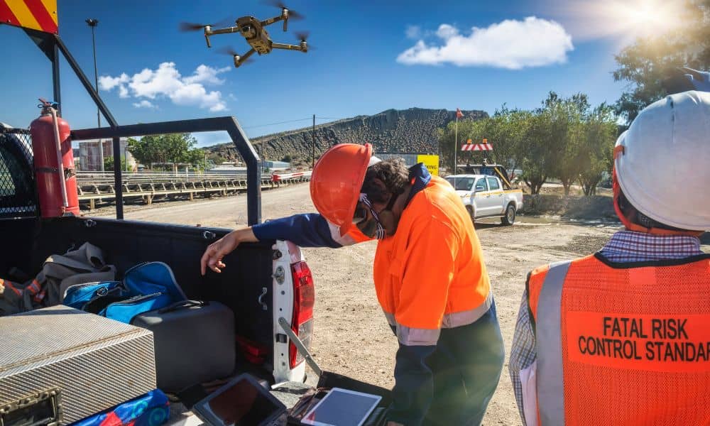
Drone land surveying has changed how surveyors collect land data. In recent years, drones helped teams work faster and safer. They also helped gather better details. However, new rules, supply problems, and stricter standards now force survey firms to change how they plan, fly, process, and share survey data. Because of these changes, workflows that […]
Why the ALTA Land Title Survey Is Still the Gold Standard

Digital maps are everywhere. With a few taps, you can see property lines, roads, and buildings from your phone. Because of that, many buyers assume those maps are accurate enough to trust. However, when real money, ownership, and legal responsibility are involved, “close enough” can become a serious problem. That’s where the ALTA Land Title […]
Property Line Survey: Documents You’ll Want Ready First
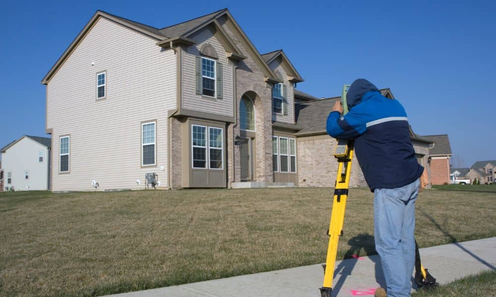
If you are planning a fence, an addition, a home sale, or a property purchase, there is a good chance you will need a property line survey. Most homeowners expect the process to start when the survey crew arrives on-site. In reality, the work begins much earlier—with documents. In Maine, especially in older towns and […]