Construction Staking Survey: Stake It Before You Pour

If you watched the huge surf video that WMTW shared from Short Sands Beach in York, Maine, you probably felt that mix of awe and worry. Waves crashed close to homes. Then real life kicked in. After a storm clip goes viral, people don’t just share it. They start fixing things—stairs, patios, short walls, and […]
How GPS-Free UAV Survey Tech Transforms Forest Mapping
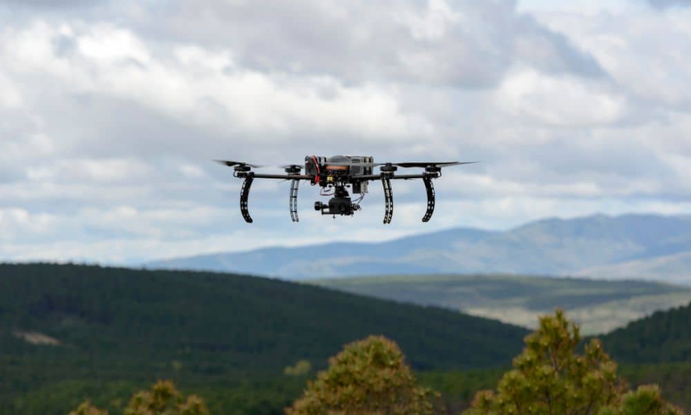
Most people think drones can map any piece of land if the pilot knows what they’re doing. But that isn’t true in many wooded or remote places. Thick trees, steep slopes, and narrow valleys often block satellite signals, which makes GPS weak or unreliable. When GPS fails, drone mapping falls apart fast. This is why […]
Why LiDAR Mapping Demand Is Rising Worldwide
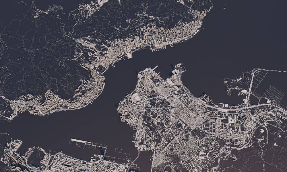
Governments around the world want better land data, and they want it fast. One of the biggest moves came from Tamil Nadu, India, where officials pushed for 30-centimeter satellite imagery to upgrade their land records. This news spread quickly because it shows a major shift in how countries handle mapping and property boundaries. It also […]