How a Global Mapping Push Made the Drone Survey Essential
If you follow global news, you may have seen a surprising story this week. In Telangana, India, the government launched a massive land-mapping project that sent more than 3,500 surveyors across the entire state. They are using GPS tools, digital systems, and updated land records to fix old boundaries and settle disputes. It is one […]
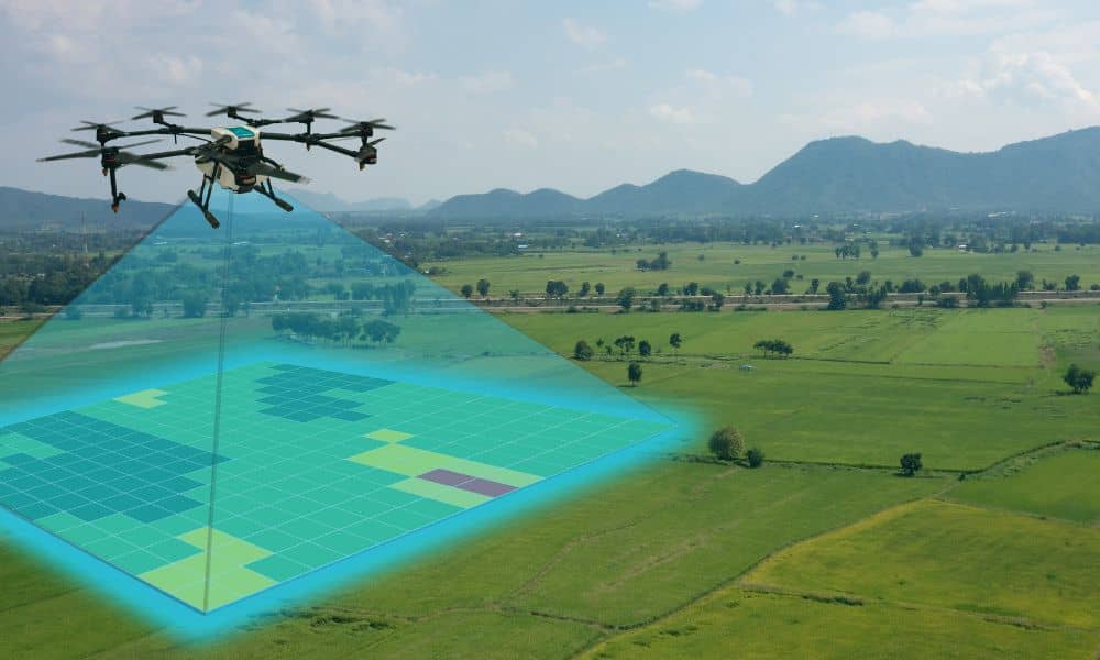
Drone Swarms Are Redefining the ALTA Survey Process
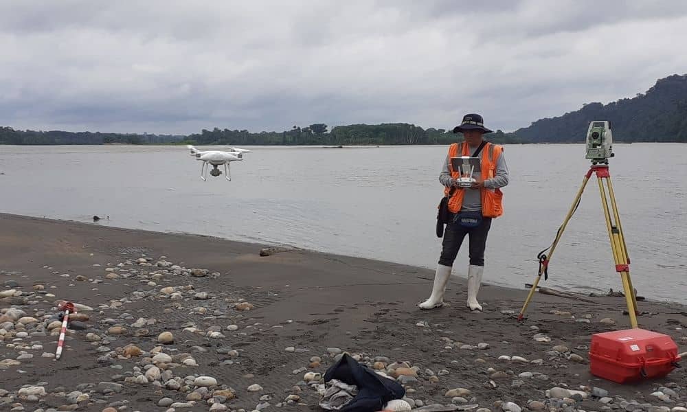
In York, Maine, storms can change the coastline overnight. Sand shifts, seawalls break, and property lines suddenly seem uncertain. For landowners and developers, that means one thing—getting an updated ALTA survey fast. Traditionally, these surveys take days of fieldwork, mapping, and verification. But new drone technology could make them happen in just a few hours. […]
Elevation Survey: Prove Your Property’s True Flood Risk
Buying a home near the coast sounds dreamy—until the flood maps start disagreeing. Many buyers are discovering that their listings show “high flood risk” on Flood Factor, even though FEMA maps place their property in a low-risk zone. That mix-up can freeze a loan, raise insurance costs, or even delay closing. If this sounds familiar, […]